Space infrastructure from Thailand
EOS Orbit designs, builds, and operates satellites, ground stations, and flight hardware in the near-equatorial belt.
Coverage ±25° lat / NEO 500 km / INC 25.0°
Imagery, tasked online
High-resolution optical and SAR imagery, ordered through PHOSPHORUS, the EOS Orbit tasking and delivery platform. Draw an area of interest, set collection parameters, receive analysis-ready data.
0.5 m PAN / Optical + SAR / GeoTIFF delivery
Order imagery →
A constellation on the equator
Sixteen Earth observation satellites in near-equatorial orbit, concentrating revisit over the tropical belt. In development. First launch targeted 2027.
16 satellites / 0.5 m GSD / X-band 1.8 Gbps
Explore Equarian →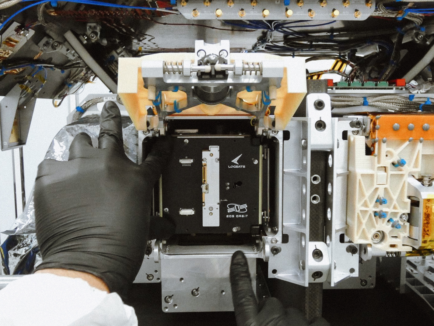
440 days in orbit
Launched January 2025 on a SpaceX Falcon 9. LOGSATS-2 ran 870+ ground contacts and an operational IoT link with SPI BN in Brunei.
Falcon 9 / 870+ contacts / IoT link Brunei
Mission record →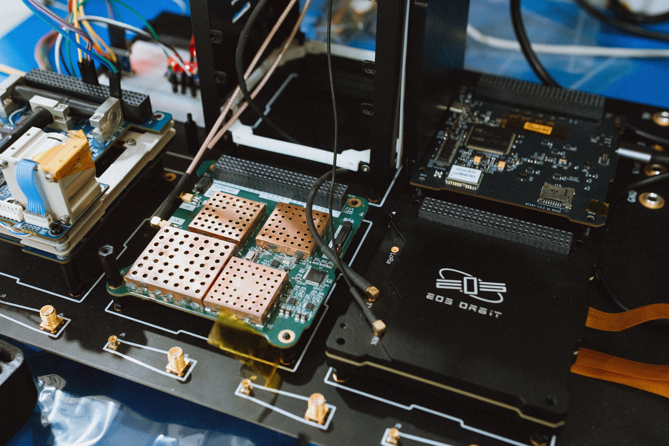
Flight-proven subsystems
Power, compute, communications, structures, and ground support equipment. Designed and built in-house, flown on LOGSATS-2, available for commission.
EPS / OBC / SDR / ADCS / GCS
Commission a system →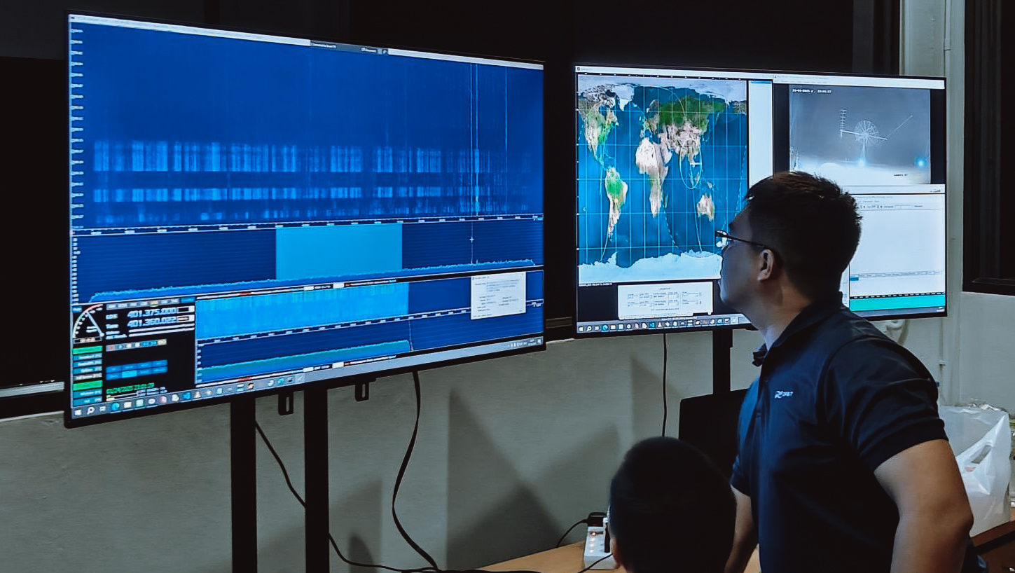
Ground segment operating 24/7
S-band, UHF, and X-band stations on owned ground in Nonthaburi, with mission control at Don Muang. Full-sky visibility, operated around the clock.
S-band / UHF / X-band / 360° visibility
Explore infrastructure →The State's Hand in Space
Read →
The Operator Decade
Read →